Ride: Portrush, Northern Ireland to Derry, Northern Ireland
Distance: 75.5km
Terrain: The way out of Portrush through Portstewart is right next to the coast, so it's pretty flat save for a few sharp hills, until you get to Coleraine, where there's a bit more steady climbing to be done. You can either stay by the coast and keep your ride relatively straightforward, or you can take a detour up Binevenagh Mountain for a mind-blowing view that you won't find anywhere else in the country. Make sure that you're stocked up on water and some snacks if you take the latter route, as you'll be in the middle of nowhere for a few hours. Once you're back to sea-level, do yourself a favour and stick to the A2 in order to avoid an unnecessary additional climb or five into Derry.

To interact with this map, visit Jess's Strava account here.
It appears that we've reached some sort of truce with Mother Nature. In exchange for several days of straight pish, grinding through the blustering winds and rain, the weather gods smile upon us and bestow we cycling mortals with a single charitable day of sunshine.

Ah, lovely.
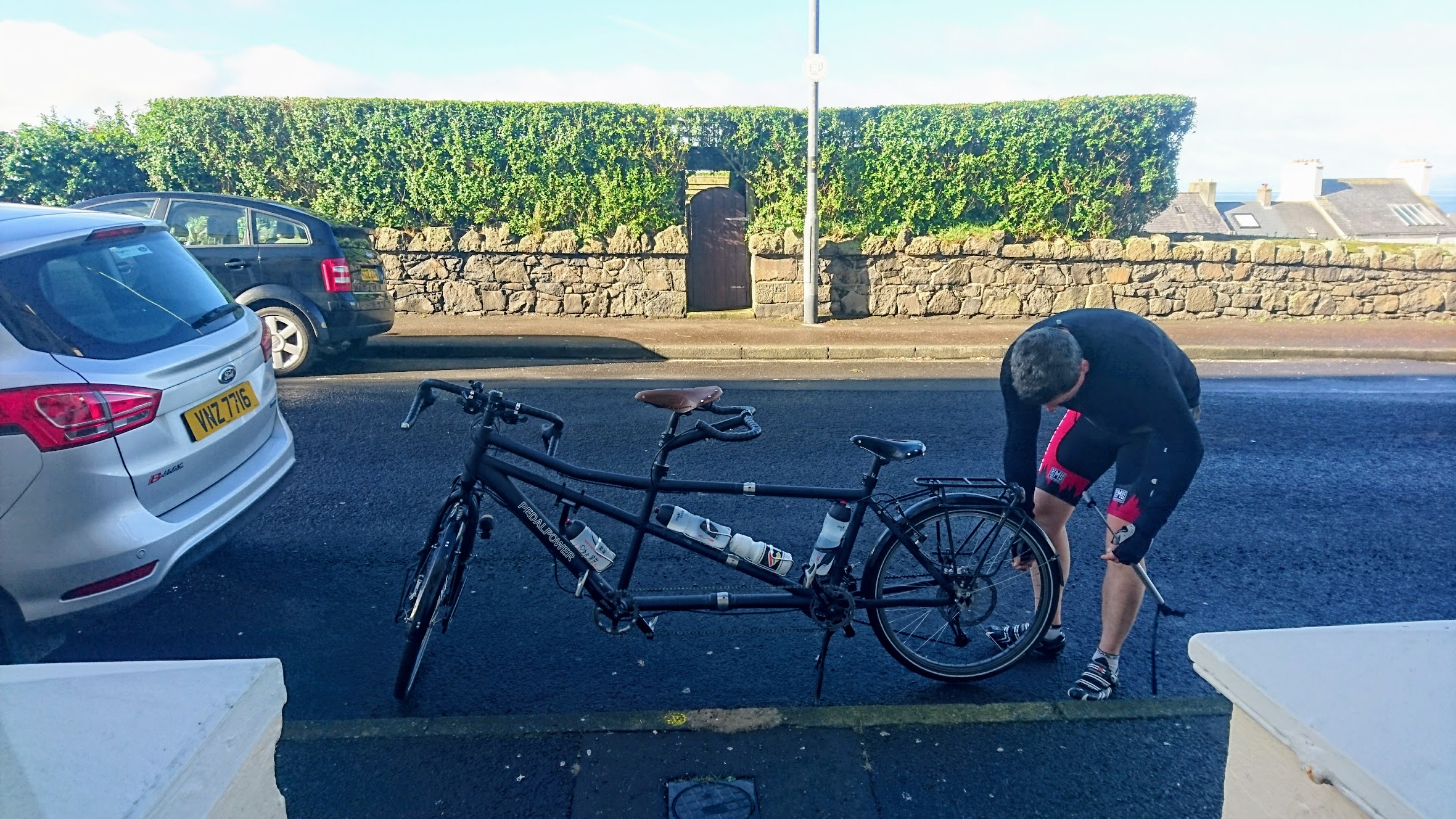
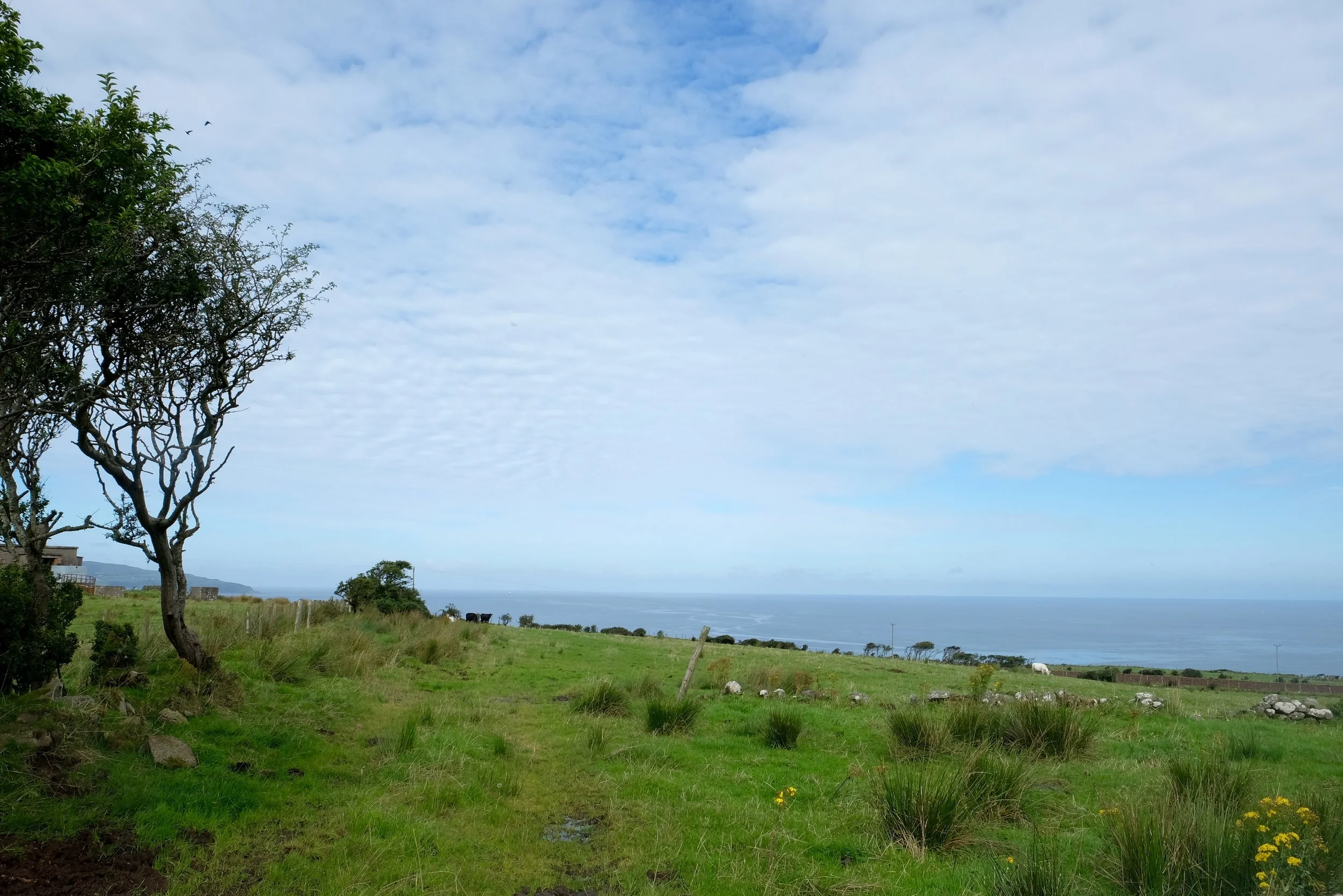
It was a beautiful morning as we set off from Portrush, and we'd almost go so far as to say that it was bordering on warm as we trundled through Portstewart. Another seaside resort virtually conjoined with Portrush, it's home to many students attending the nearby Ulster University at Coleraine and has a famous beach to boot. As a result of it being a college town, it has a slightly more elegant feel to it than its more popular sibling.
Next, we turned inland towards Coleraine, as there's just no other way to get over the mighty River Bann, Northern Ireland's biggest. It's a frustrating deviation from the coast, not only because you end up back on it soon after, but also because hauling yourself back up out of the river valley entails a bit of a climb.
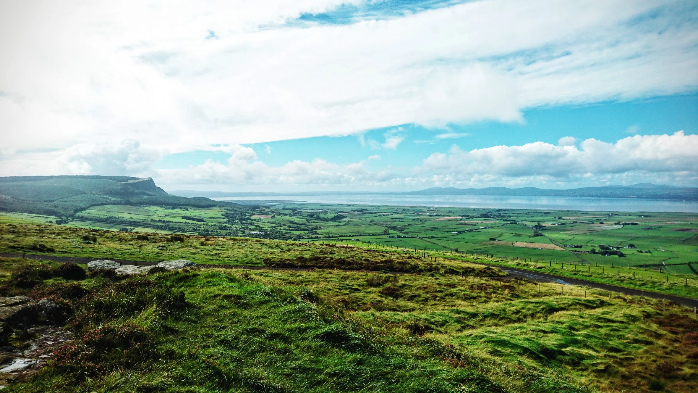
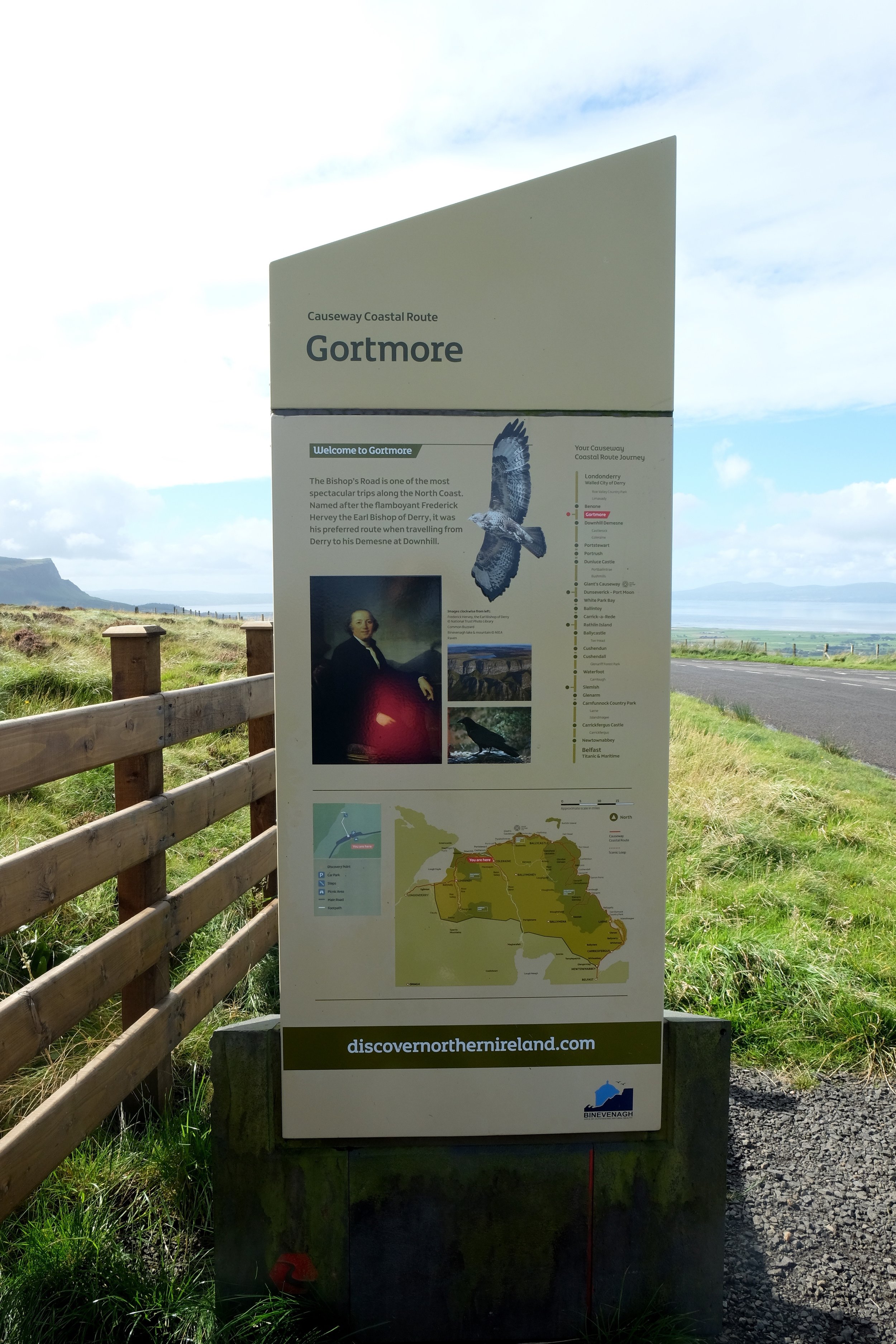
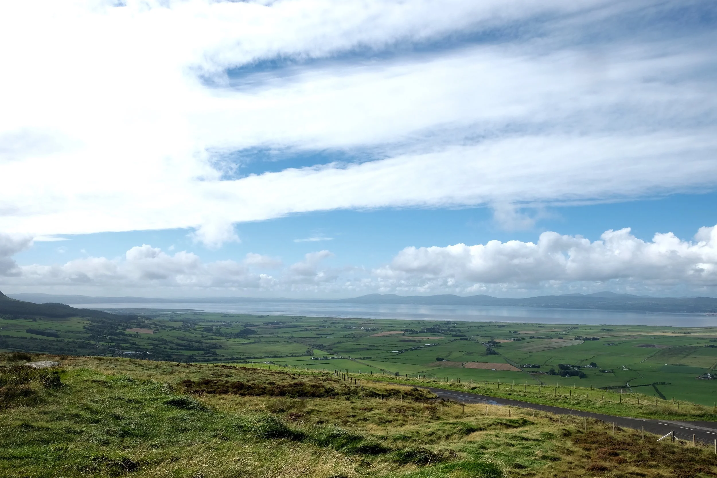
On today's sightseeing agenda was Binevenagh Mountain, one of Northern Ireland's "Areas of Outstanding Natural Beauty" with a summit that allows for stunning panoramic views of Lough Foyle. It's a fair old hike up with one or two mercifully brief stretches around 20%. You're basically climbing nonstop, albeit mostly gently enough, for 15 kilometres with the notable exception of the very first stretch off the main road, which is on a steep decline through a damp, slippery forest on the tiniest excuse of a path there is. They don't tell you this at all on Google Maps, so let us save you the trouble and show you what you're in for should you decide to take this particular route:
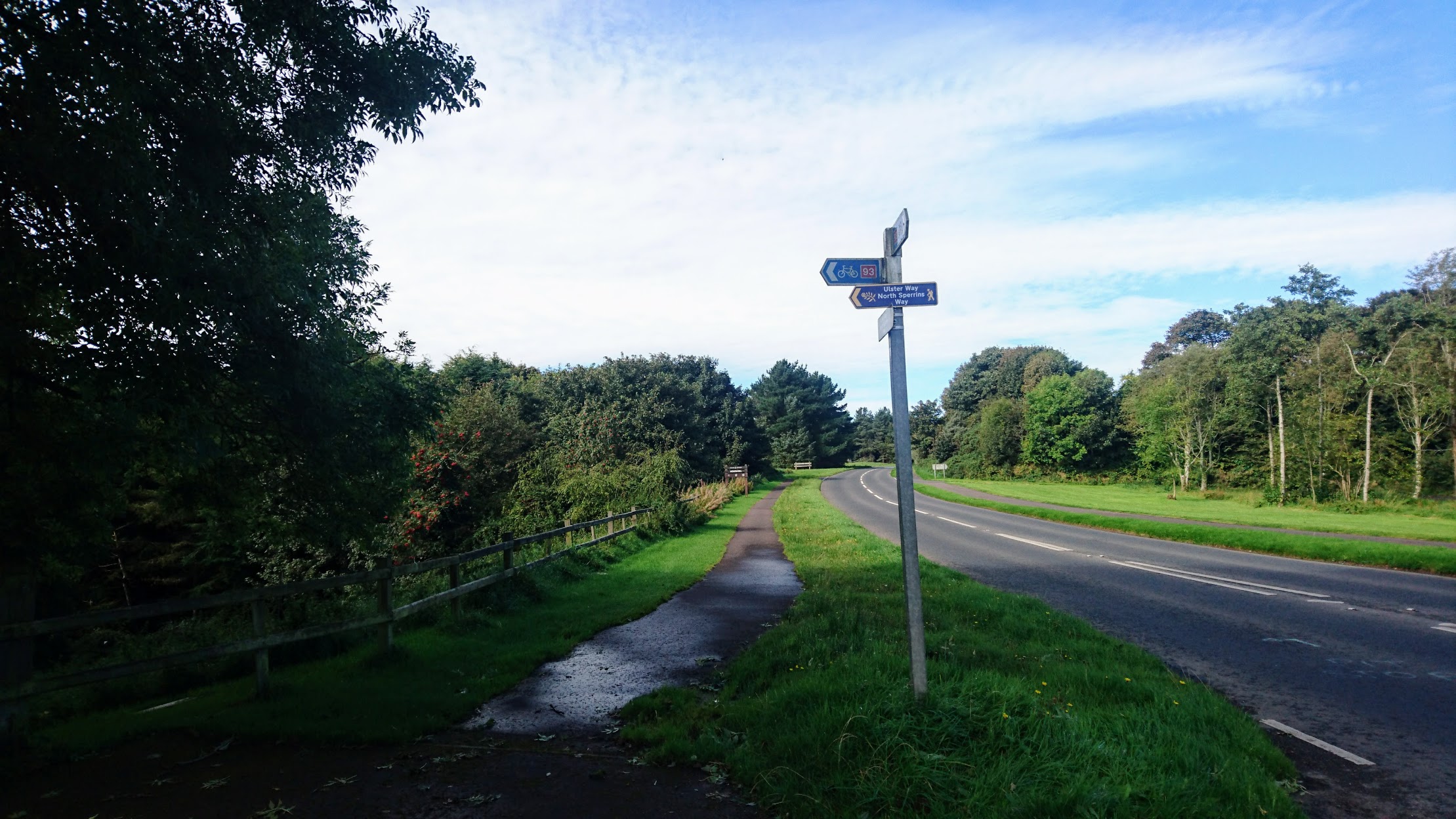
The 93 route first leads you away the main road.
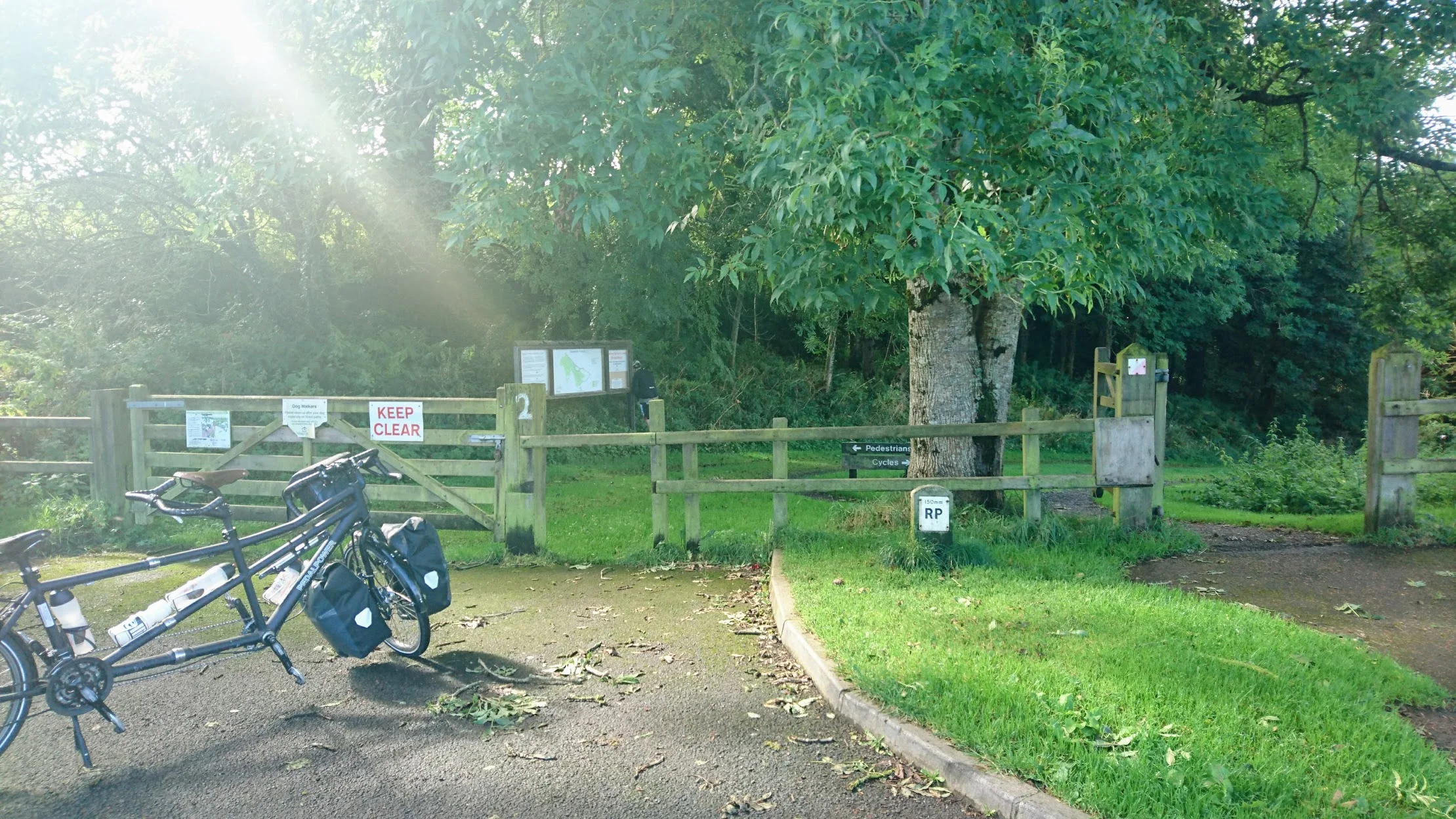
Upon first glance, it's not so bad. The path, which is already tiny to begin with, is graciously split into two for Pedestrians and Cyclists.
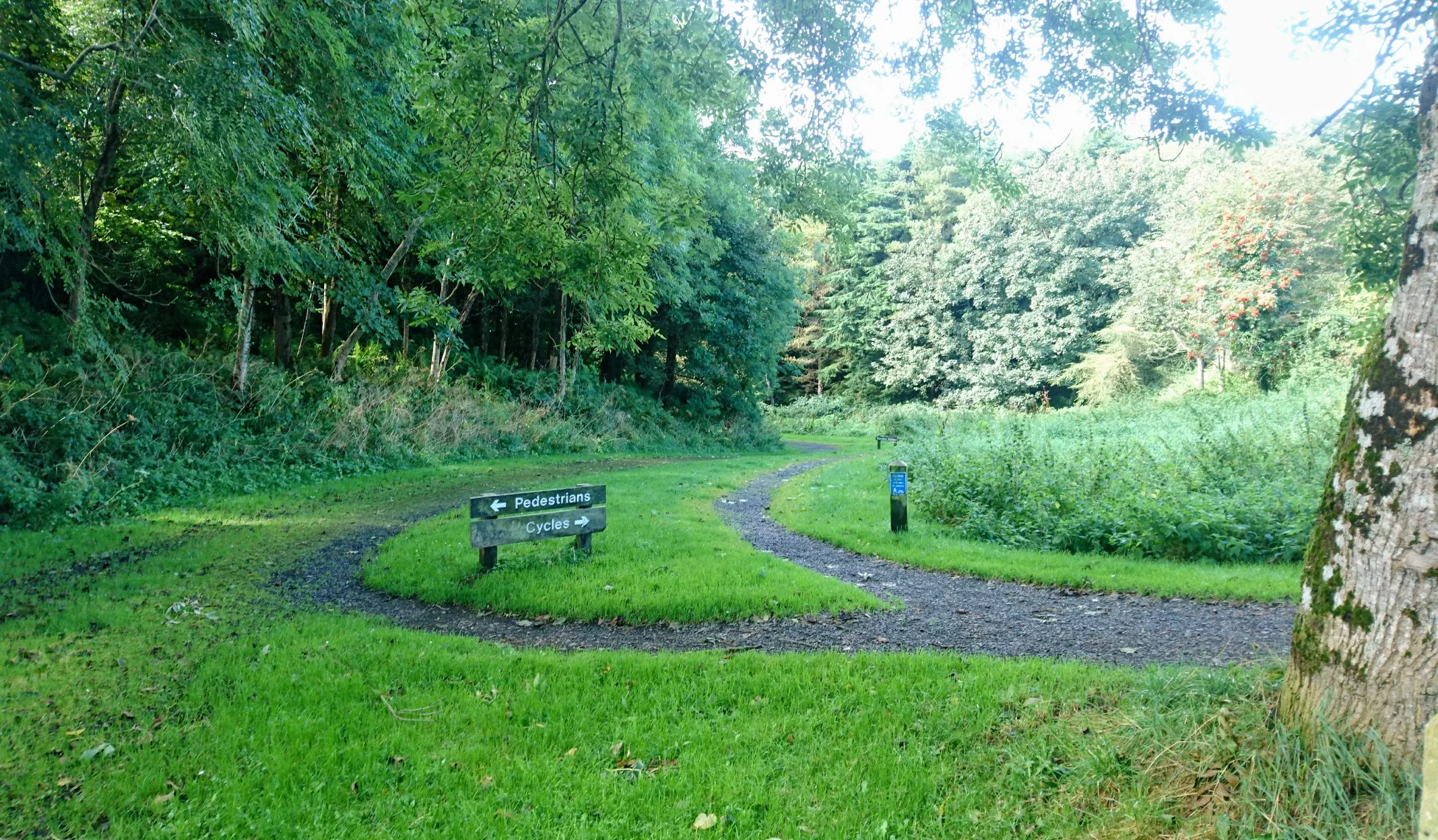
Um, yeah, no.
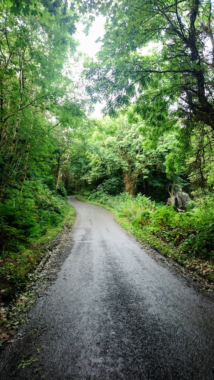
It may not look so bad in the photos above, but there was no way that a loaded tandem was going to glide smoothly down a steep wood chip carpet just wide enough for ants to go through. Luckily, there was a proper paved road just one kilometre away which took us in the same direction in the end, notwithstanding a massive climb which our slightly hobbled and heavily laden tandem just couldn't take on.
Time to change into sneakers and prepare to push once again.
Heave! The initial climb...
...which then cleared up into this. Partway up with a long way to go yet.
What still lies ahead. Slow and steady does it.
We're not going to lie - this was pretty tough, and was made all the worser by the fact that Jess was well in the throes of a fever at this point and Neil's legs were getting really tired. Whenever we're in the middle of such excursions, deep paranoia sets in. We start to wonder if we've bitten off more than we can chew, if we'll have the legs for any more climbing, if this will ever end. We manage to convince ourselves that we're in purgatory and this is what the rest of our lives will consist of - forever climbing Bishop's Road to reach a peak that always eludes us, just because Neil thinks the view might be nice, and this is totally stupid and oh here we are!
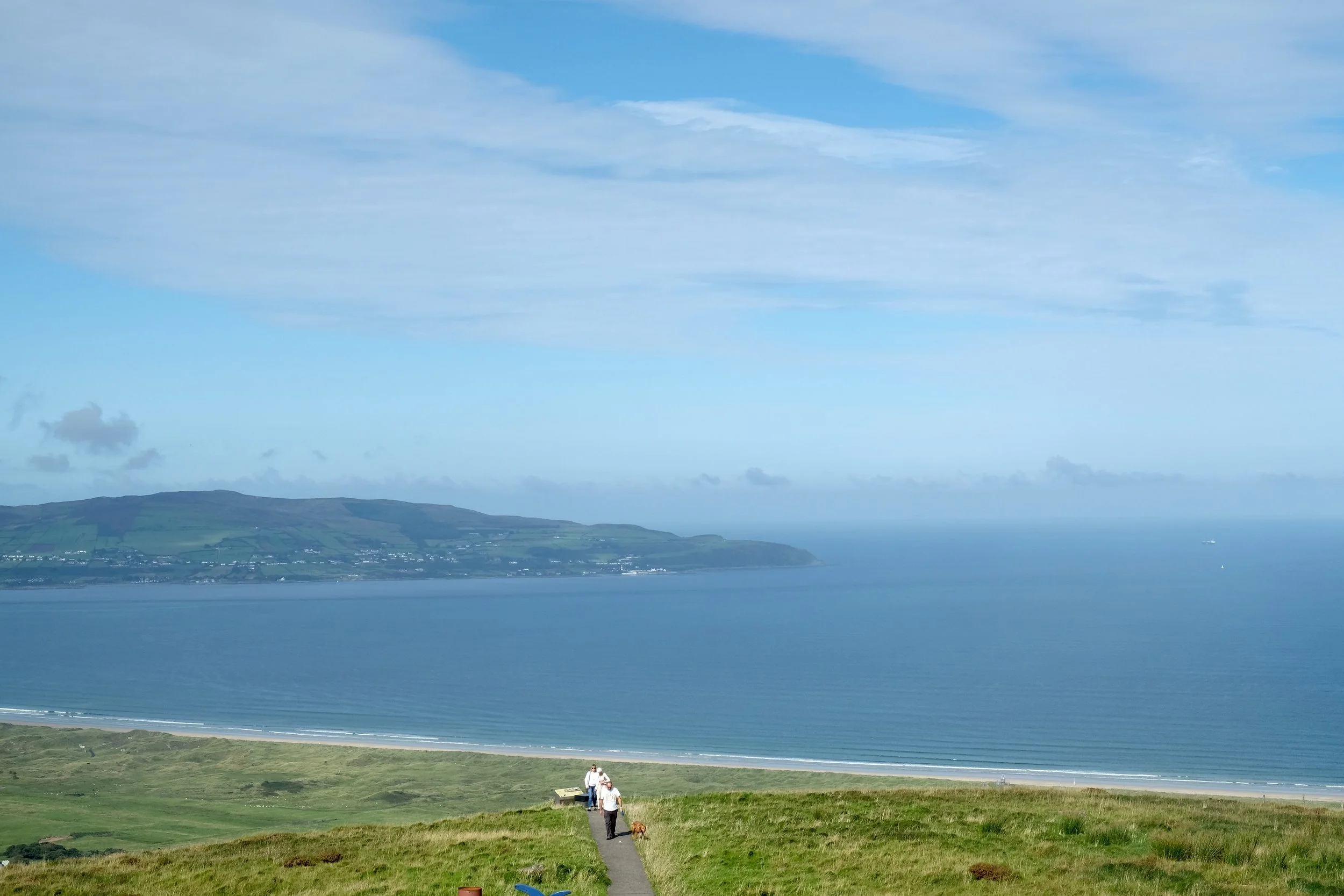
Hell yes, this was worth it.
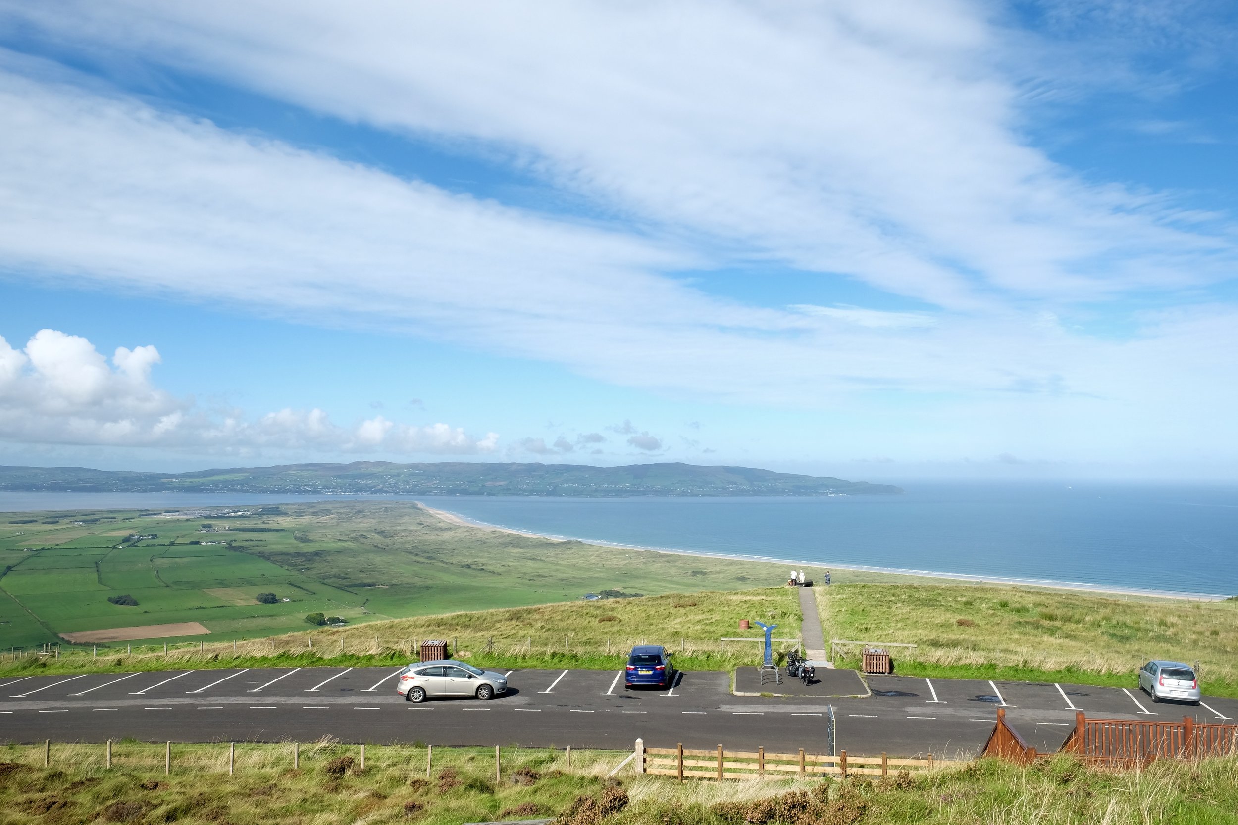
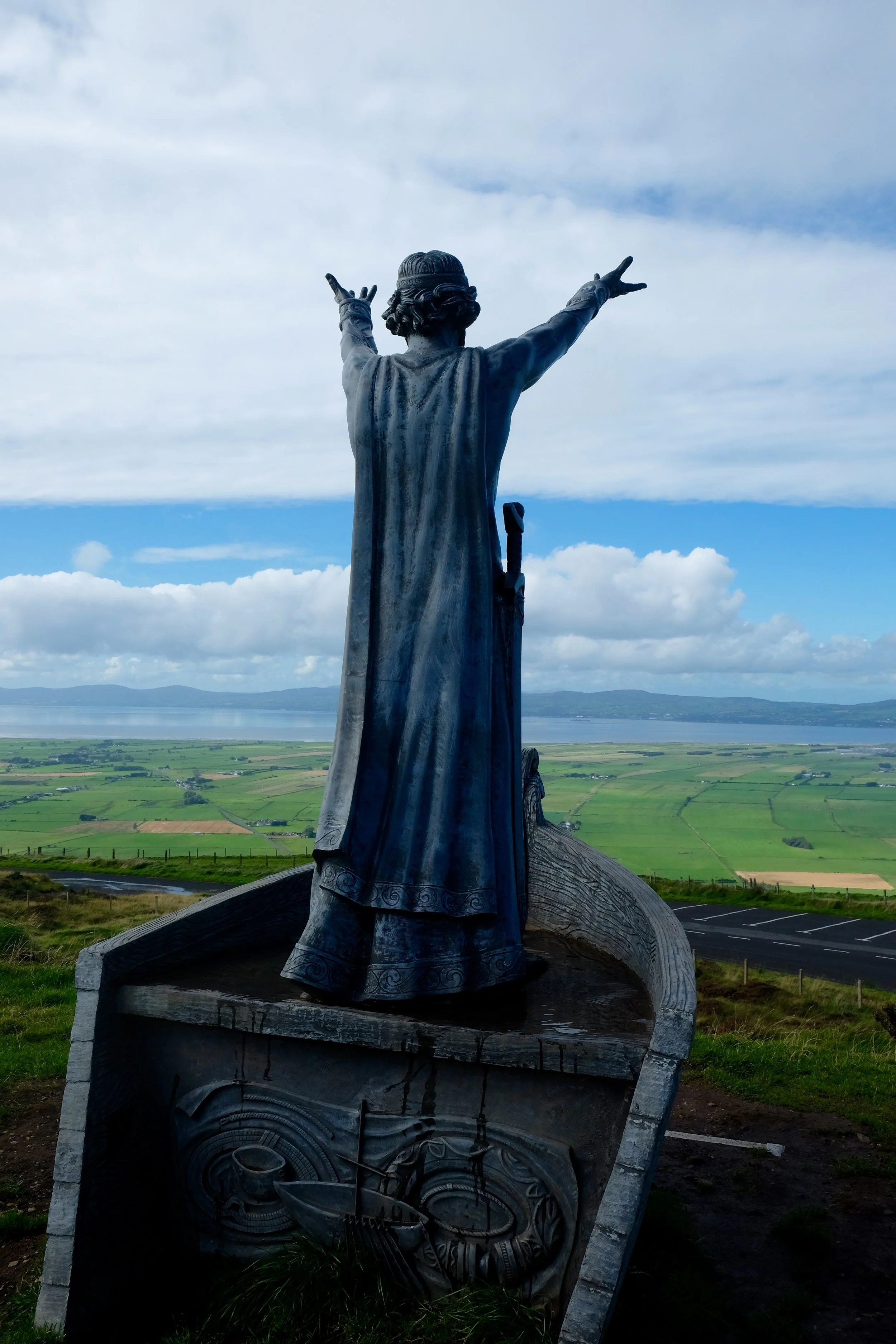
Binevenagh was formed as part of the Antrim Plateau some sixty million years ago by molten lava (not unlike how the Giant's Causeway came to be). Spanning 138 square miles, the plateau and cliffs extend across Magilligan Peninsula and is a great place to see Mussenden Temple, a cliff-side historical building where you can get married if you so wish.
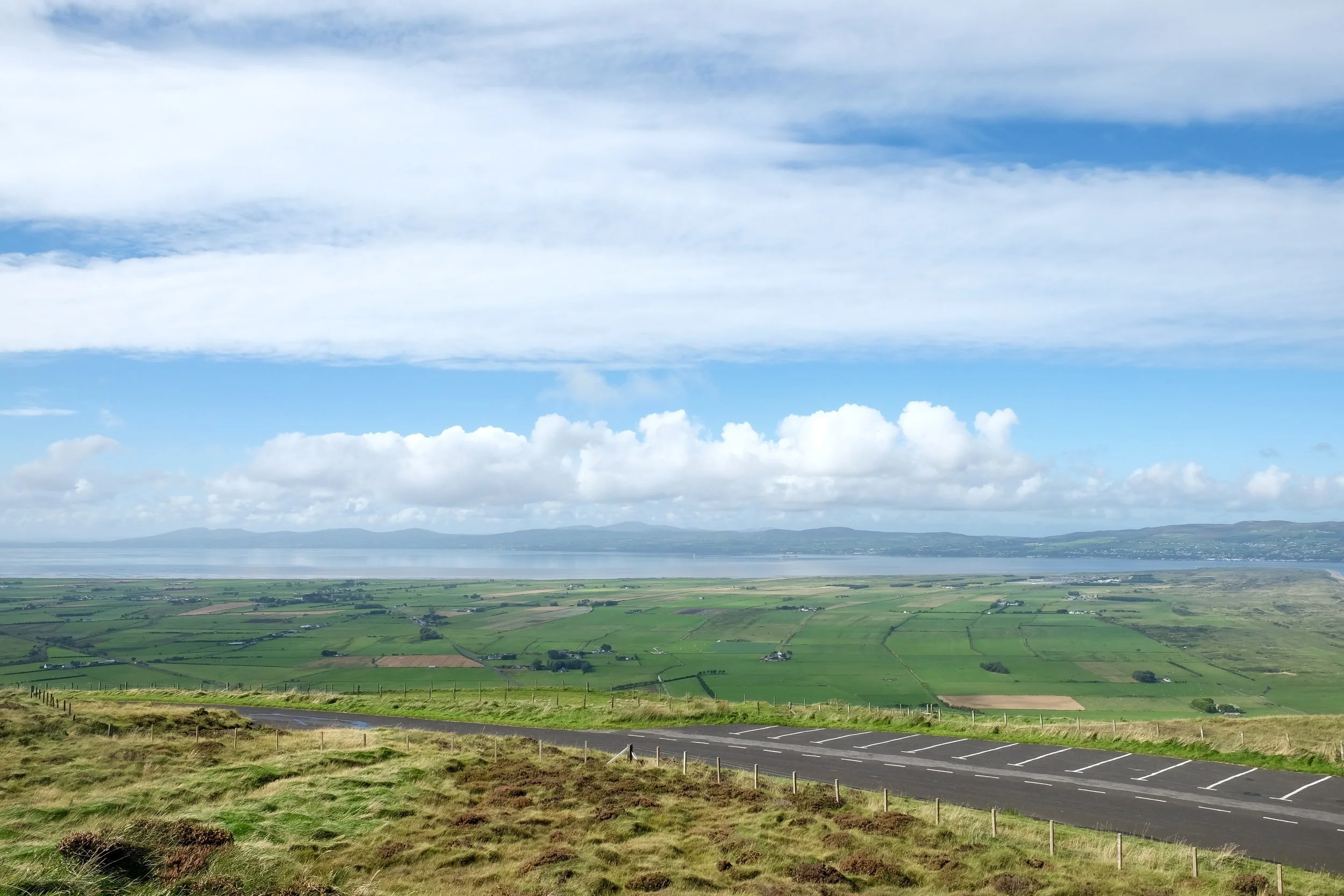
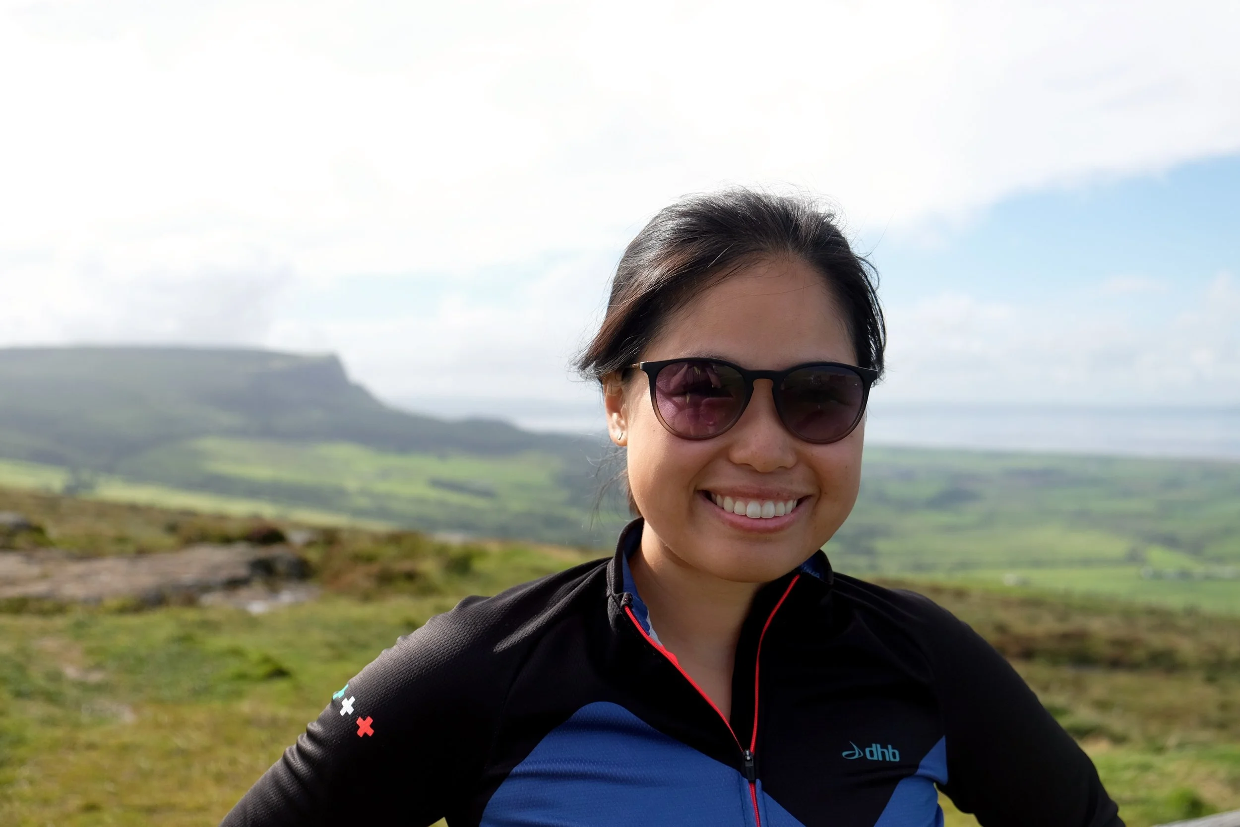
You can see to forever from here. Or at least, to Scotland and Donegal.
"I think it's trying to rain."
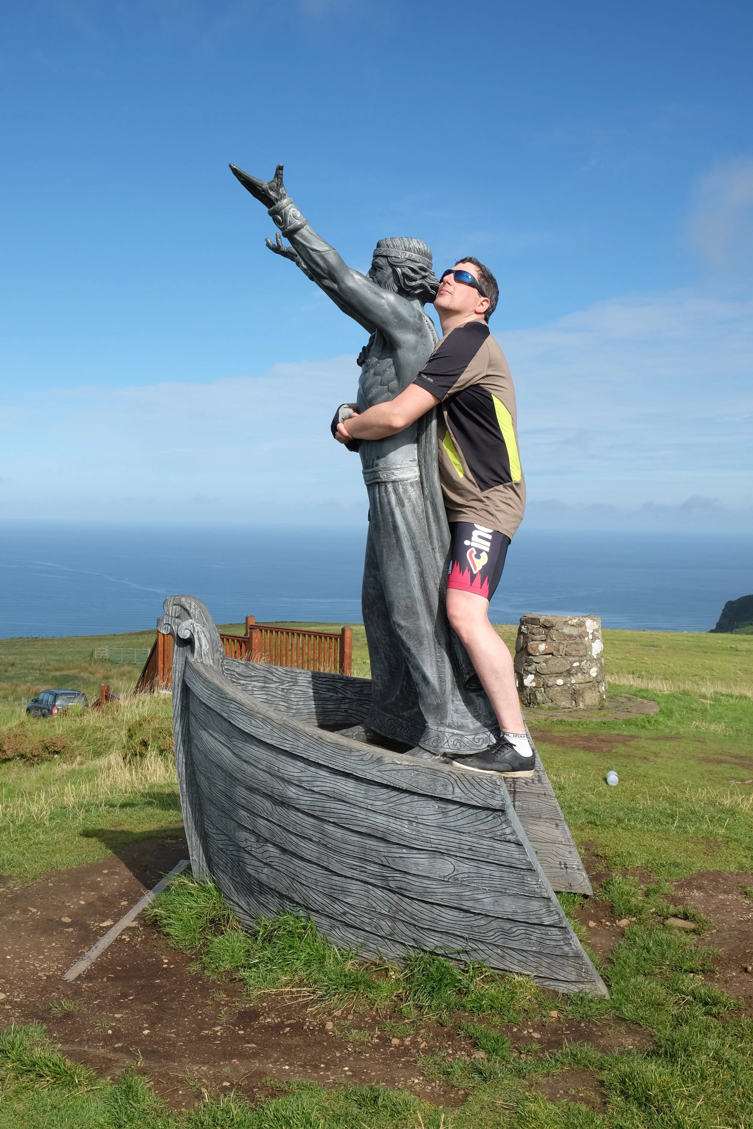
This is probably enough to get you arrested in some parts of the country.
A normal photograph because Jess is normal (five points to whoever can guess what movie we're referencing).
After a while standing jaws agape at the scenery around us, we gathered ourselves and prepared for the epic downhill that was inevitable. Then Neil dropped another bombshell.
"Sorry darling, er - we still have to climb a bit more before we reach the actual peak. But it'll be over in a jiffy and isn't anything worse than what we've already done so far."
It was then that Jess finally knew what it felt like to simultaneously love and hate someone at the same time.
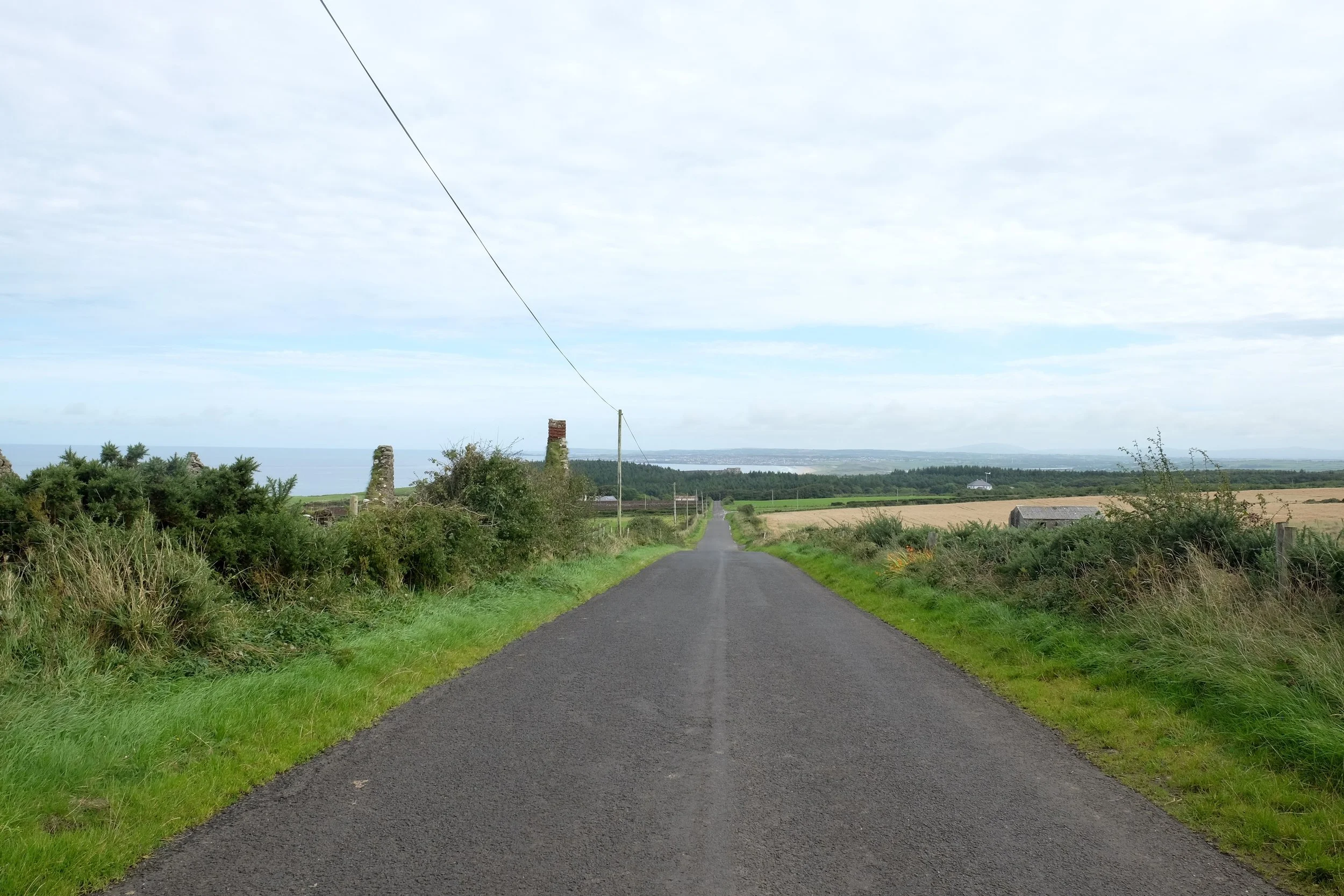
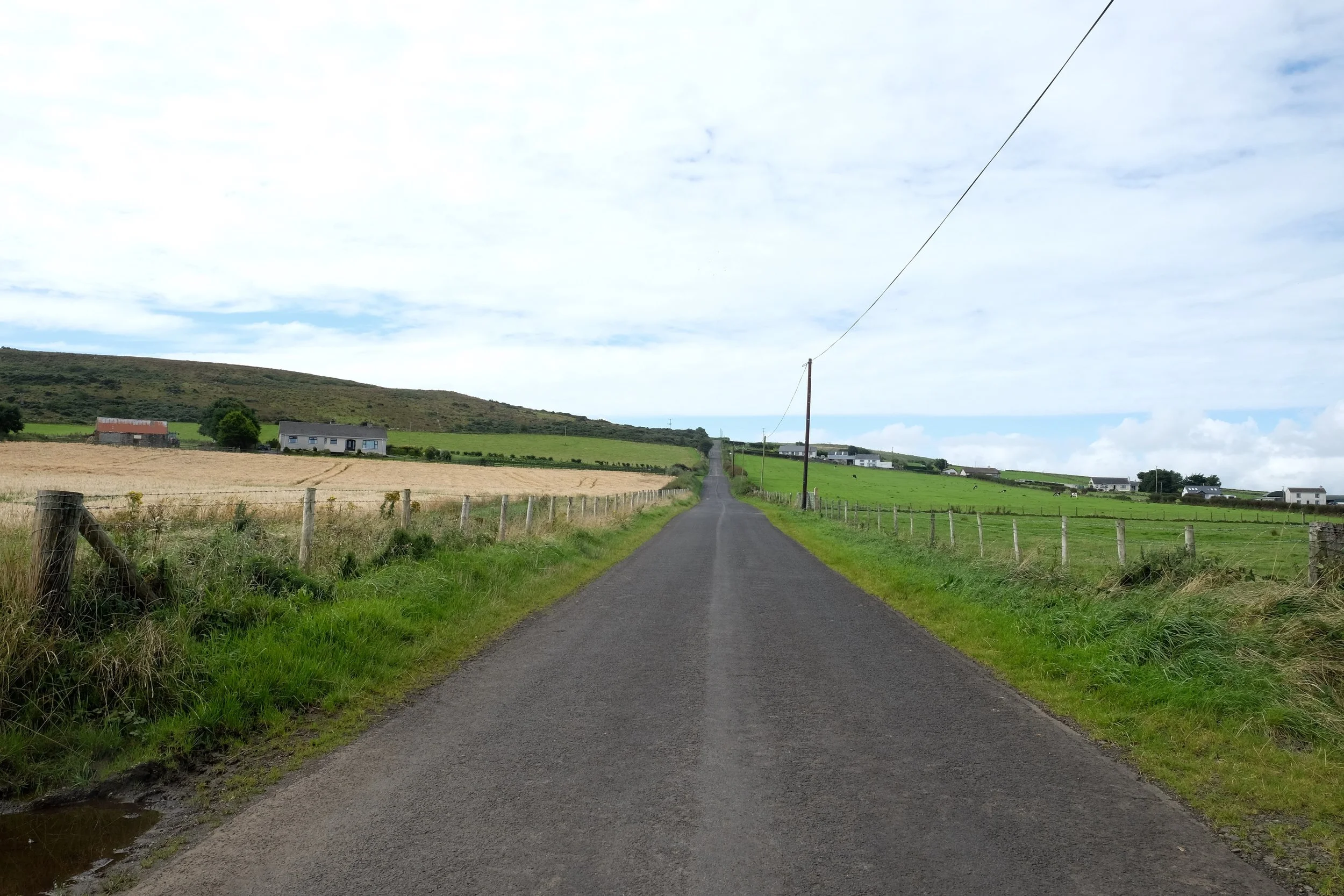
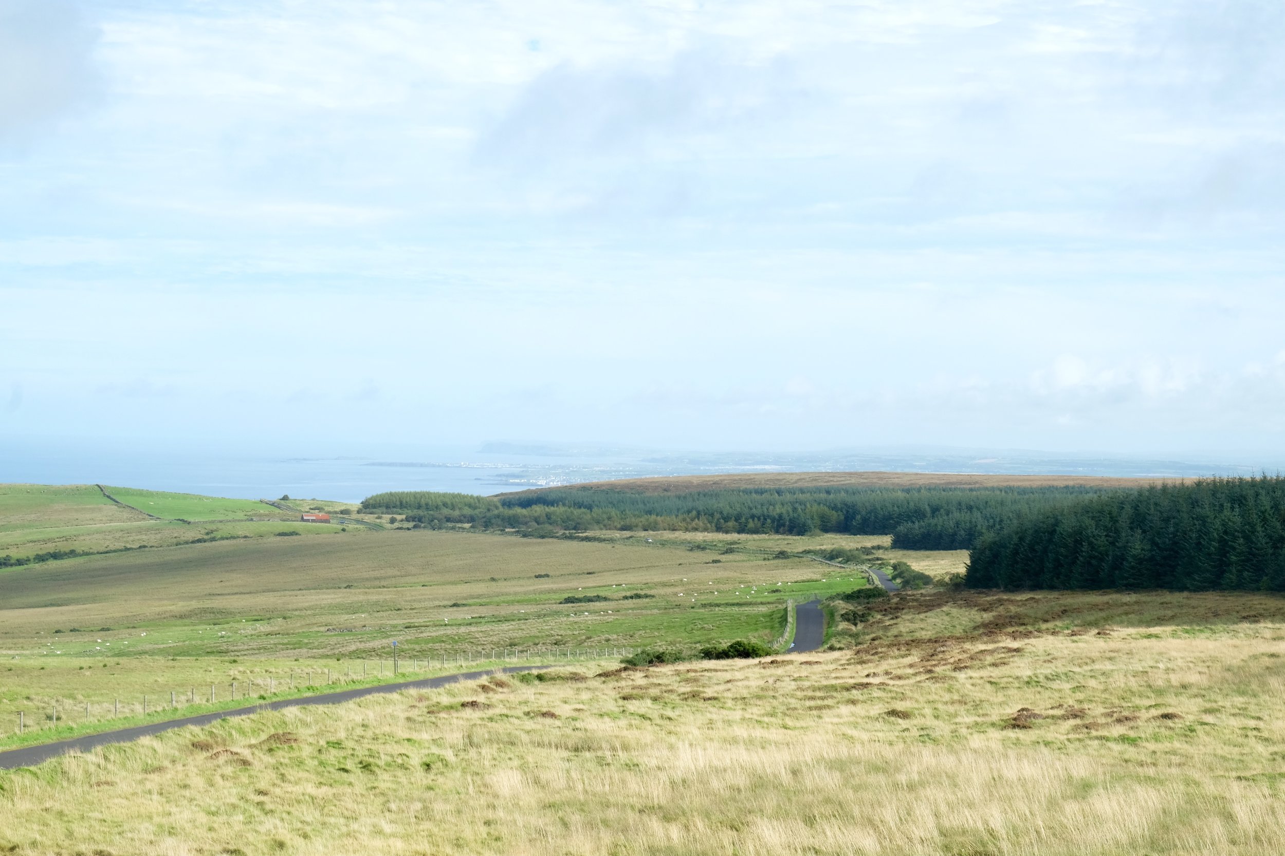
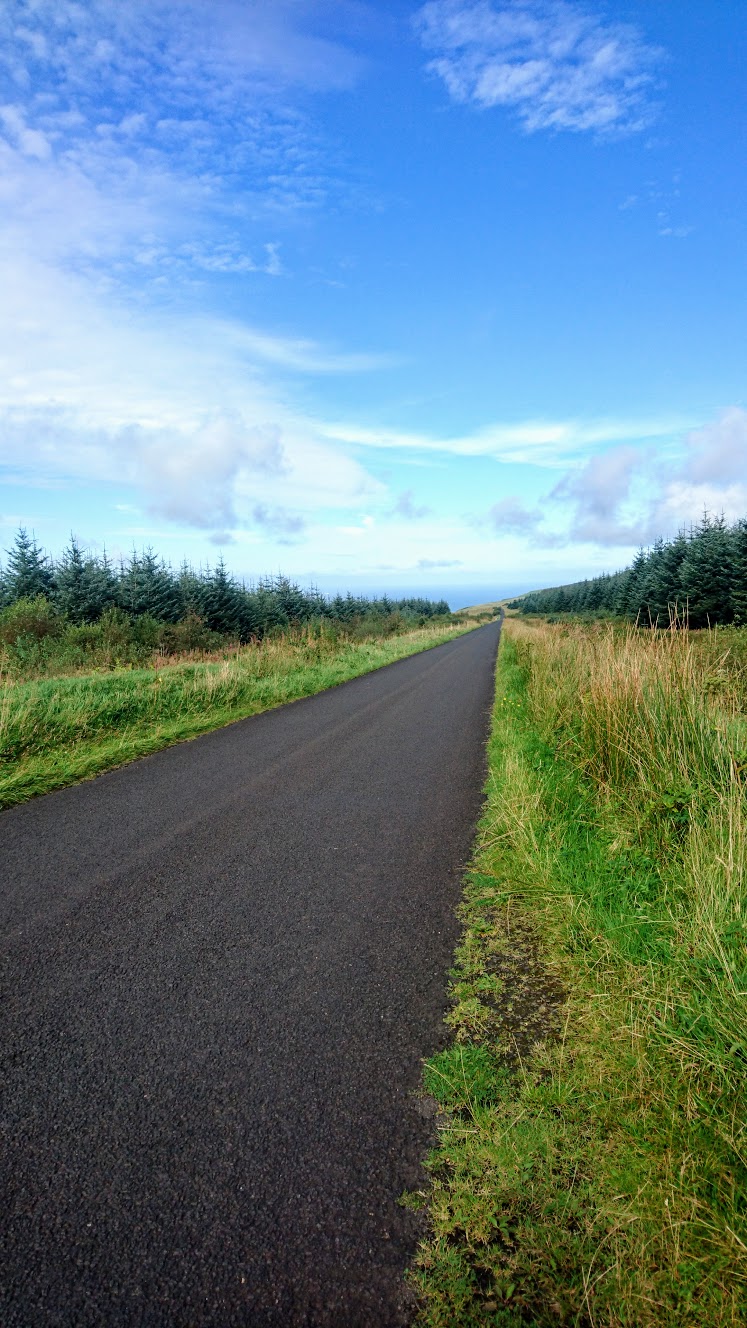
Just when we thought the hard work was done for the day and we were looking forward to the descent, surprise! Five more kilometres of climbing. Most people with any sense drive up to the viewpoint from the coast, so thereafter there's absolutely nobody on the road, save for a guy on a motorbike who gave us a sympathetic glance as he roared past comfortably. On and endlessly on through silent forests and gently trickling brooks it went, until eventually, finally, we crested.
Pretty quiet out here.
And then the real fun started, for what goes up must come down, and in our case, that meant descending 300 meters in the span of minutes. It's a huge, exhilarating drop, and we would have reached truly ridiculous speeds were we brave enough. But, as we didn't know what lay ahead of us, we had to keep things under control, and doing so meant hauling on the disc brakes until they were completely cooked. Only the "panic brake", operated by Jess on the rear rim, could stop us breaking the sound barrier. It was so steep at times that Neil actually got sore forearms from pushing himself up against the handlebars.
It seemed like no time at all had passed until we were cruising into Limavady for lunch. Because we were a bit behind schedule, we decided to bypass the cafés and restaurants on Main Street and go straight into Tesco to buy supplies for a picnic lunch on a nearby bench. And besides, it's rare enough that you get weather good enough for a picnic, so best make the most of it.
Any cyclist will tell you that after a long hard ride, they'd eat the back of a scabby horse. You lose any pickiness real fast, and £3 for a pre-packaged sandwich, side, and drink deal looked mighty fine to us. So, feeling stuffed with the best that Tesco can offer, and enjoying the wee breather that sitting in town gave us, we started to get our confidence back. With only 16 kilometres left until Derry, we could afford to take it easy for the rest of the day, and we were looking forward to kicking back and trundling along the A2 without a care in the world.
Until we found out that the A2 was pretty busy dual carriageway with no bike lane to separate us from traffic. Here and there a shoulder afforded us some space, but it's still a risky place to ride and we weren't comfortable at all. We pressed on for an hour or so but soon tired of the cars and trucks whizzing by, and started looking for an alternative. We decided to try the 92 bike route which appeared to be a quieter back road running parallel to the A2, and didn't constitute much of a detour at all.
This was a terrible mistake. We've come to realise that in Northern Ireland, taking a back road always involves much more climbing, and we watched in horror as we went higher and higher above the A2 for no apparent reason whatsoever. Every brief descent was immediately followed by a cruel, needless kick in the teeth of a hill, and it continued in this fashion all the way to the city, undulating spitefully. After all the climbing we had already done today, this was the last thing we needed, and as the end of the ride approached, we became ever more bitter and exasperated.
We would like to tell you that the day had a happy ending, and that we sailed into town with smiles on our faces like we had hoped at lunchtime, but alas, that was not to be. Up, and then down, down, down to the River Foyle we went, only to cross the bridge and ride straight back up the other side to our B&B.
It's as if they built this city here specifically to deter cyclists.