Ride: Hyeonpung, South Korea to Namji-eup, South Korea
Distance: 79.3km
Terrain: This was by far the worst day in the saddle so far. There are two massive climbs on this segment, one near the start at 12% and another one that forced us to get off and push. There would have been a third, but we flat out refused to go up it because it was impossible. Despite what you might read online from other cyclists who dared to follow the sign, every bike has its limits and we had blown beyond ours, so we found another way around the mountains. A costly mixture of Kakao Maps and Naver Maps saw us ending our ride earlier than we had hoped.
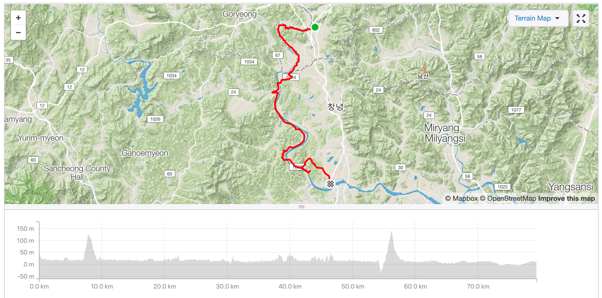
To interact with this map, visit Jess’s Strava account here.
What a bloody bastard of a day.
Where to begin?
The morning started off innocently enough as we made our way out of town onto the bike trail. Normally, this would be the start of our day’s adventures, but as we had deliberately picked a hotel that was just off the path, getting back onto it wasn’t such a big deal. That’s about the only good thing that happened today.

Soon after heading into the countryside once again, we hit our first hill. The sign at the bottom of it read “12% for 300m”. 12% is just about the limit of what we can manage at this point in the trip, so we took deep breaths and settled in for the grind. Unfortunately, we were misled as the hill was neither 12% nor only 300m (spoiler: it was steeper and way longer). There were some parts that were insurmountable in our state, so we had to get off and push for what seemed like days.
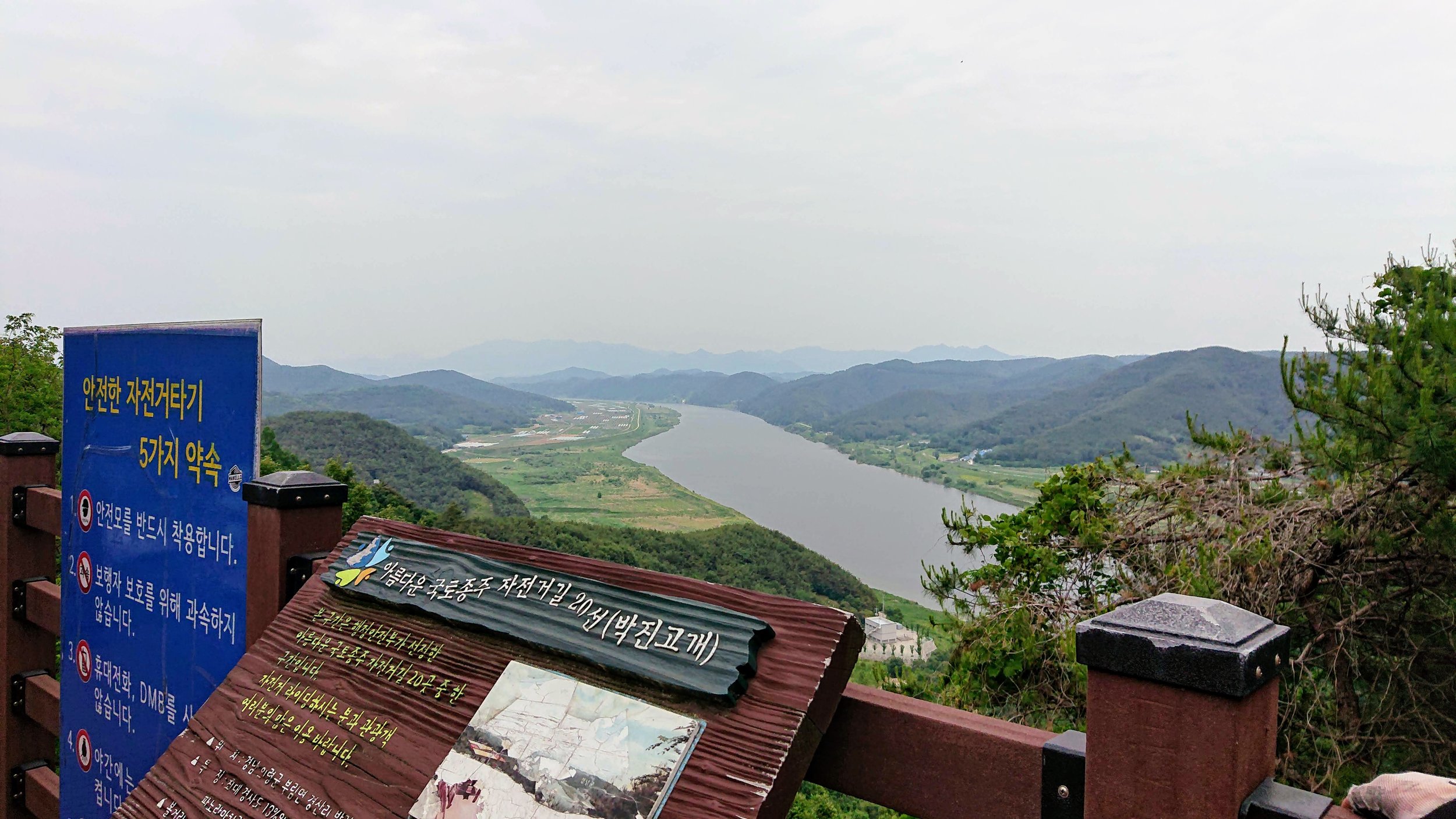
Once we reached the top, we were rewarded with a pagoda occupied entirely by other puffed out cyclists, although they were on considerably lighter and more comfortable mountain bikes, and a viewpoint that was obscured by the hazy sun. To be honest, nothing would have made up for the grunt we just went through. We were sweaty, worn out, and in terrible moods. It wasn’t even 10 AM.


We tried to make as much headway as possible, since one route option we had discussed last night (to make tomorrow’s ride into Busan shorter) was to extend our ride by 30km today and lodge at Hanam-eup. This was inspired by a cyclist’s blog we had been following who did the Four Rivers ride before us. And it did in fact seem feasible at one point - we actually thought that it could be done. Instead of stopping at Namji-eup for the night, we would get there for lunch, and then finish off the afternoon with this extension. It sounds crazy to do 80 kilometres by 2 PM, but we had given ourselves enough time and felt confident in our abilities.

Glamping Korean style.

Just one of many small cemeteries we passed along the way.


We found the Mindflayer from Stranger Things.


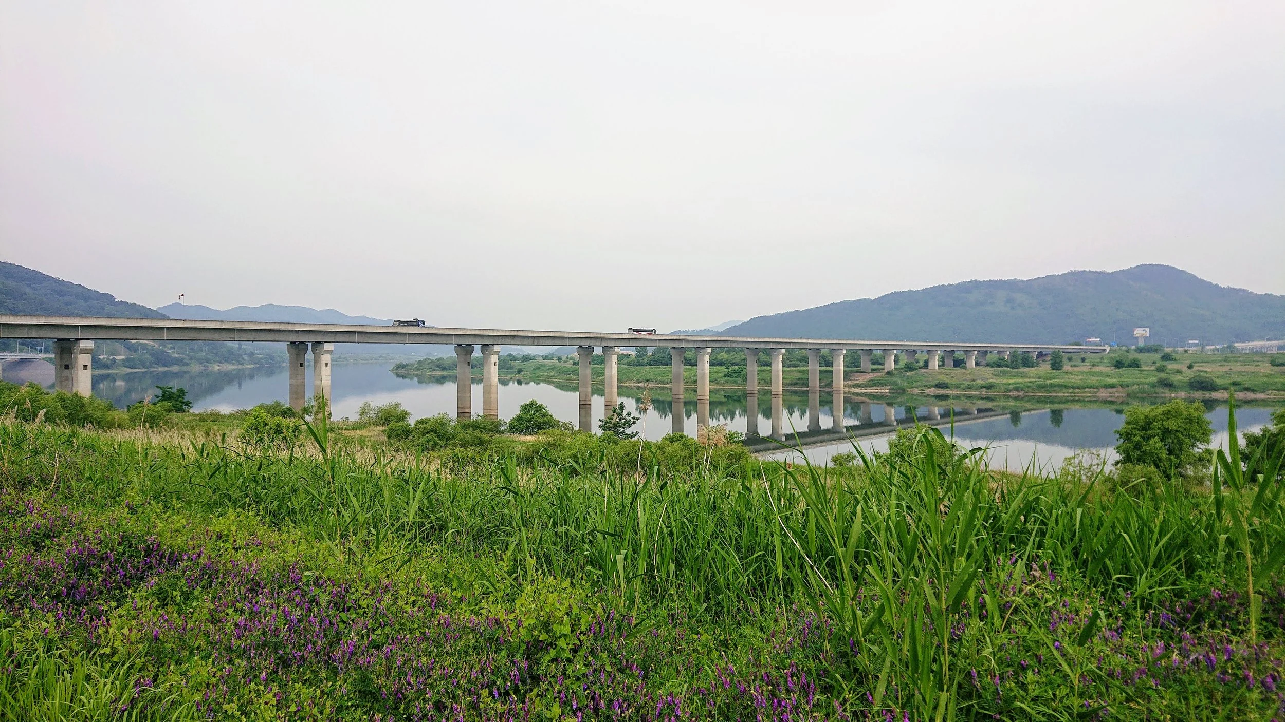
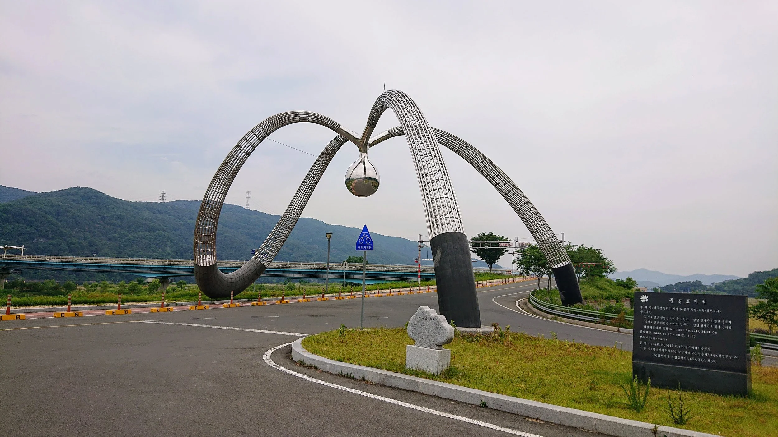
The bridges get weirder and weirder.

That positivity disappeared as soon as we hit the second big climb. There’s no other way to describe it - it was awful. One look at it and we knew it was time to get off and push. We didn’t even attempt to ride it. To add insult to injury, we were bombarded by the stench of cow dung in the surrounding fields the whole way.
Naturally, we weren’t the first to struggle up this hill. Many have tried and failed, as can be seen from the desperate messages scratched into the roadside walls by our predecessors. Ranging from cheery encouragement to doom-laden naysaying, we weren’t sure whether to be emboldened or terrified. This stretch probably hasn’t actually killed anybody, but from the graffiti, it wouldn’t surprise us to learn it has.
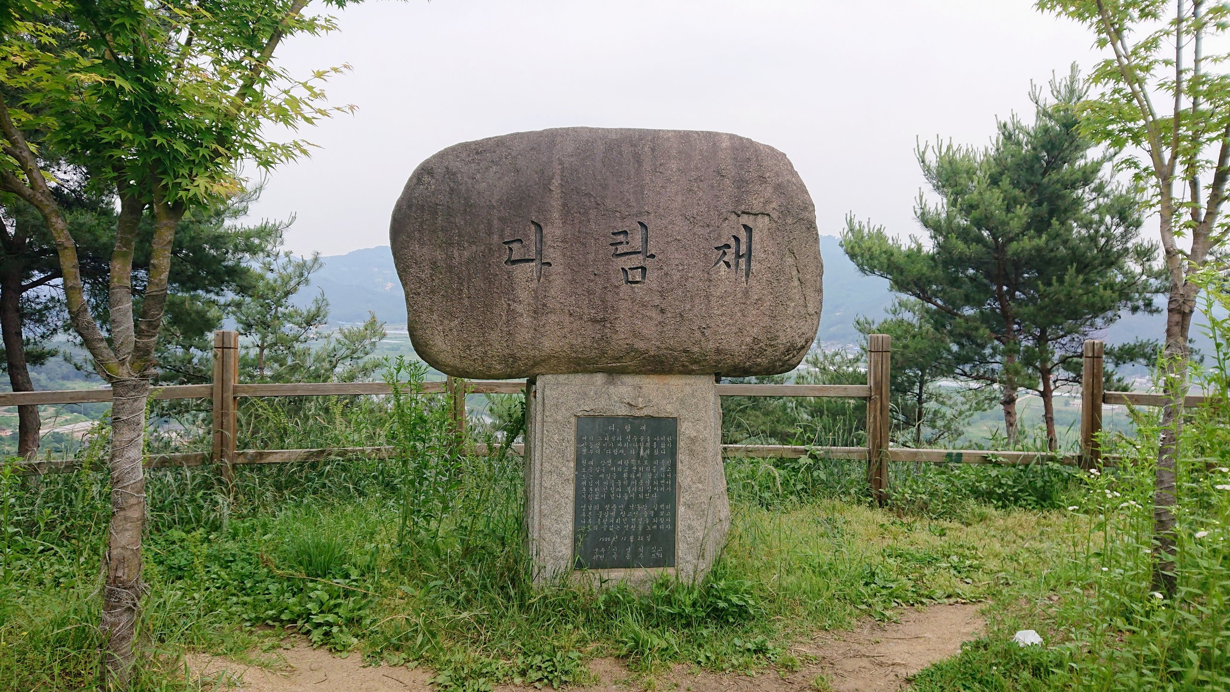
Another disappointingly mediocre view greeted us at the top, and we wasted little time taking it in. But despite the delays, we were still making good progress. Busan wasn’t so far away now. We were growing ever more confident that we could do this…


The writing in white along the stone railing says, “Deliver us”.

…until, not long afterwards, we found ourselves on the way out of a tiny, somnolent village, staring at something that wasn’t so much a climb as a cliff. This was the straw that broke the camel’s back. With a yell of frustration, we got off the bike and stood in the street, each accusing the other person of deciding to take this fateful way, all while the chanting of some serene monk at the peak only fuelled our bitter anger.
We decided to stop following the path at this point, as well as the Naver Maps directions which served as a supplement/alternative to the signs dotted on the road. Consulting Kakao Maps instead, we found another route that supposedly took us closer along the river and appeared to be flat. Wahey! Spirits renewed, we set off.
Only to find that the road didn’t exist. It led to a muddy rice field in the middle of nowhere.
We spent the next half hour retracing our steps, and resorted back to the original Naver Maps instructions which took us along main roads instead of the bike path. There was nothing else for it but to grit our teeth and ride it out in silence, lest one of us tip the other over the edge.
By the time we reached the next town of any size, Namji-eup, it was pushing 4 PM and nothing could have persuaded us to ride any further.